
More from Beacon’s Beach
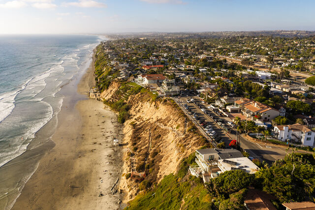 Aerial shot of Beacon’s Beach in Leucadia, Encinitas showing coastal bluffs, beachfront homes, a parking area, and the Pacific Ocean shoreline | Drone Photo
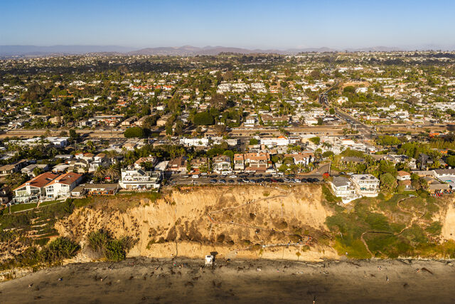 Beacon’s Beach bluffs, beachfront houses, and the trail leading down to the sand in Leucadia, Encinitas North County coastline | Photo
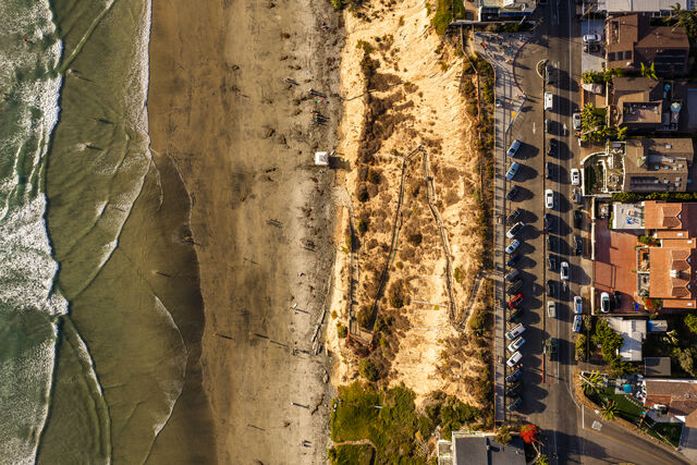 Aerial shot of the bluffside trail winding down to Beacon’s Beach in Leucadia Encinitas with surfers in the ocean and parked cars | Drone Photo
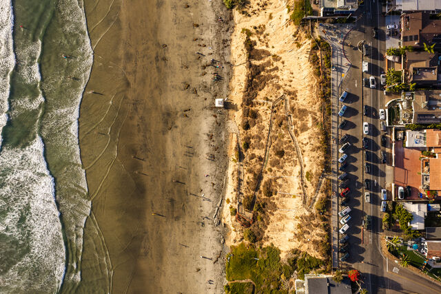 Aerial view of the bluff trail and parking area above Beacon's Beach surf break along the coastline in Encinitas North County | Drone Photo
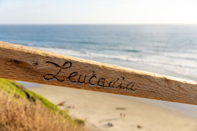 Wooden railing with Leucadia carved into it overlooking the beach and ocean at Beacon's Beach in Encinitas North County San Diego | Photo
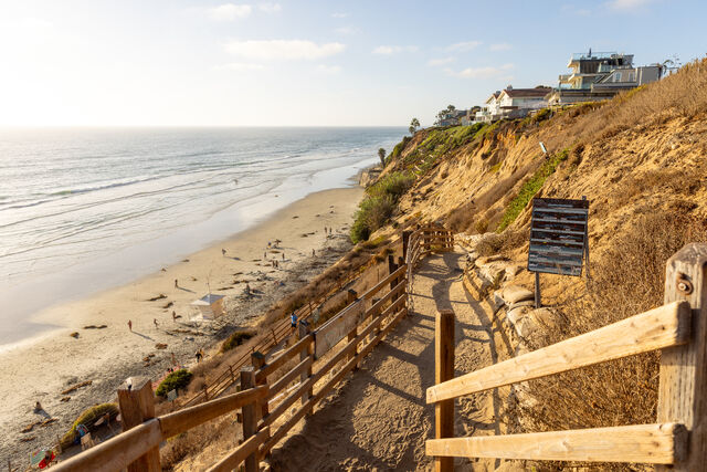 Wooden railing pathway winding down sandy bluffs to Beacon's Beach with ocean views and coastal homes in Encinitas | Photo
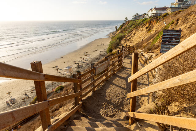 Pathway and wooden steps down coastal bluffs to Beacon's Beach in Leucadia Encinitas with ocean and sandy shoreline views | Photo
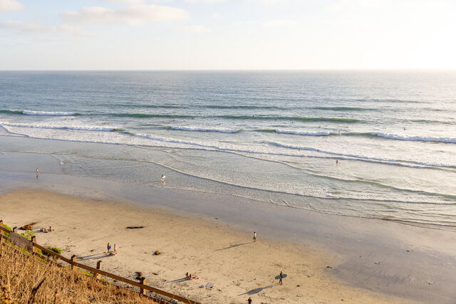 Elevated view of surfers paddling out through rolling waves and beachgoers walking along the shoreline at Beacon's Beach in Leucadia Encinitas North County San Diego | Photo