More from Encinitas
 A few from Grandview Beach in Leucadia Encinitas | Video
 An amazing day at Grandview Surf Beach in Leucadia Encinitas | Video – 12
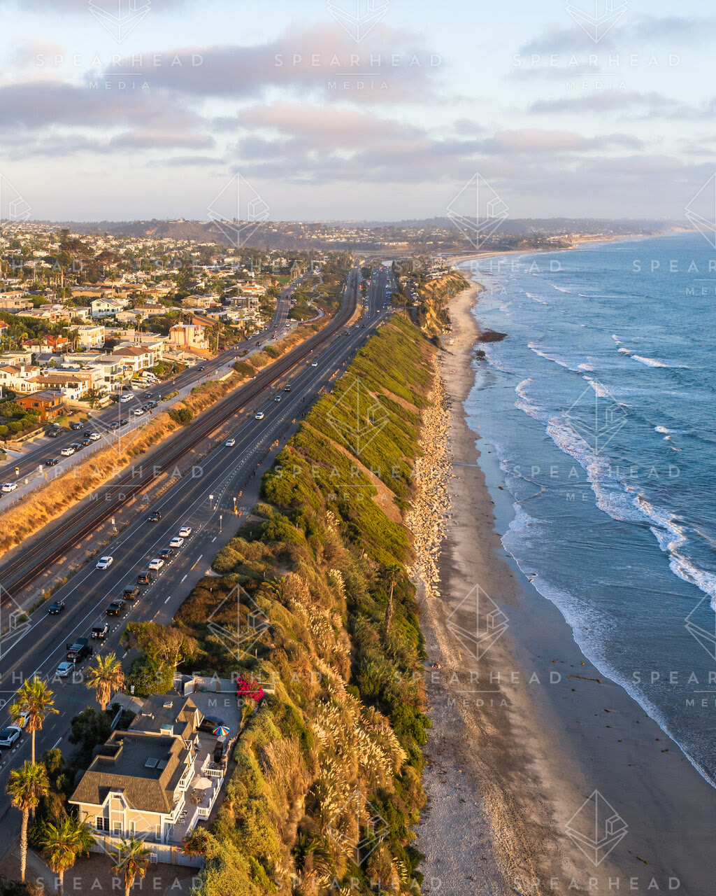
 Flying over Coast Highway 101 in Leucadia, Encinitas | Drone Video
 Flying over Coast Highway 101 in Leucadia, Encinitas | Drone Video – 1
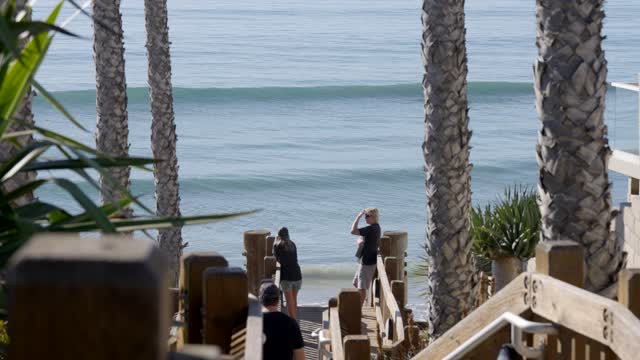 Surfers checking out the waves at Grandview Beach in Leucadia Encinitas | Video – 3
 The Shops and restaurants in Leucadia Encinitas | Video – 2
 Photo of Grandview Beach in Encinitas during Sunset | Photo – 2
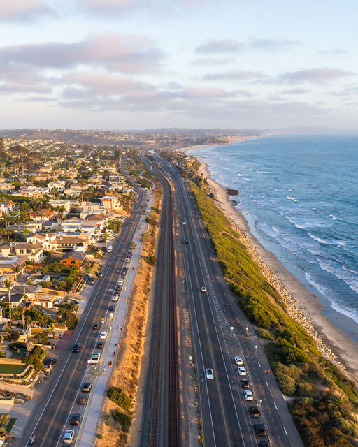 Aerial shot of Highway 101 along the coastline in Encinitas | Drone Photo