
More from Swamis
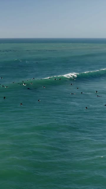 Aerial Drone Video showcasing Surfers Surfing Large Waves at Swamis along the Encinitas Coastline in North County San Diego with Scenic Ocean and Beach Views on a Sunny Day | Vertical Drone Video – 9
 Northbound flying high above Swamis in Encinitas | Drone Video
 Photo of Swami’s Beach in Encinitas | Photo – 1
 Photo of Swami’s Beach in Encinitas | Photo – 5
 Photo of Swami’s Beach in Encinitas | Photo – 6
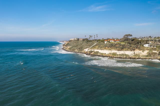 Swami’s Beach in Encinitas | Drone Photo #10
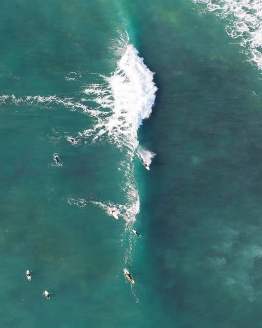 Swami’s Beach in Encinitas | Drone Photo #12
 Swami’s Beach in Encinitas on a beautiful day to surf in San Diego | Photo – 15