
More from Beacon’s Beach
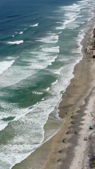 Aerial Drone Video of Beacon’s Beach and the Bluffside Trail in Encinitas North County San Diego with Scenic Ocean Cliffs and Beach Views | Vertical Drone Video – 2
 Aerial shot of Beacon's Beach bluffs and pathway in Leucadia, Encinitas, showing beachgoers, surf, homes above the cliffs and coastline stretching inland | Drone Photo
 Aerial shot of Beacon's Beach in Leucadia Encinitas showing eroding sandstone cliffs, waves, surfers, and bluff-top homes above the coastline | Drone Photo
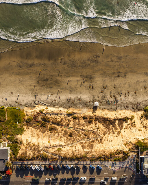 Aerial shot of the bluffside trail leading down to Beacon's Beach in Encinitas with ocean waves and a parking lot | Drone Photo
 Surfer woman with a pink surfboard walking down the trail to Beacon's Beach in Leucadia Encinitas overlooking the coastline and surf | Photo
 High angle view of Beacon's Beach in Leucadia Encinitas showing the coastal bluffs shoreline ocean waves and people walking on the beach | Photo
 View of Beacon's Beach in Encinitas North County San Diego with surfers in the ocean and people walking the sand | Photo
 Young surfer with surfboard descending the bluffside stairway and railing path leading down to Beacon's Beach in Leucadia Encinitas | Photo